
District Overview
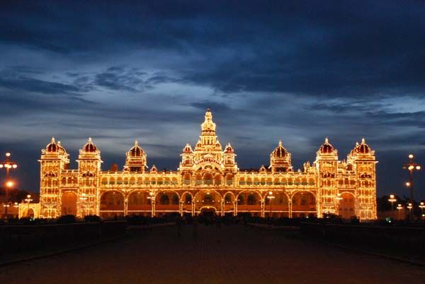
Mysuru District is one of the historically and culturally significant districts of Karnataka. Located in the southern part of the state, Mysuru is popularly known as the City of Palaces, Heritage City and Cultural City. The district headquarters is Mysuru city, which is well known for its royal heritage, historic monuments, temples, gardens, traditional arts and vibrant cultural celebrations.
The district has a rich combination of heritage, culture, nature and modern development. Its landscape includes hills, lakes, rivers, forests and agricultural areas. The magnificent Mysuru Palace, Chamundi Hill and the annual Mysuru Dasara celebrations are among the major symbols associated with the district.Mysuru has also developed as an important centre for education, tourism, information technology, industries, healthcare and commerce, while continuing to preserve its traditional identity.The district covers 6,307 square kilometres and had a population of 30,01,127 according to the 2011 Census.
District Towns
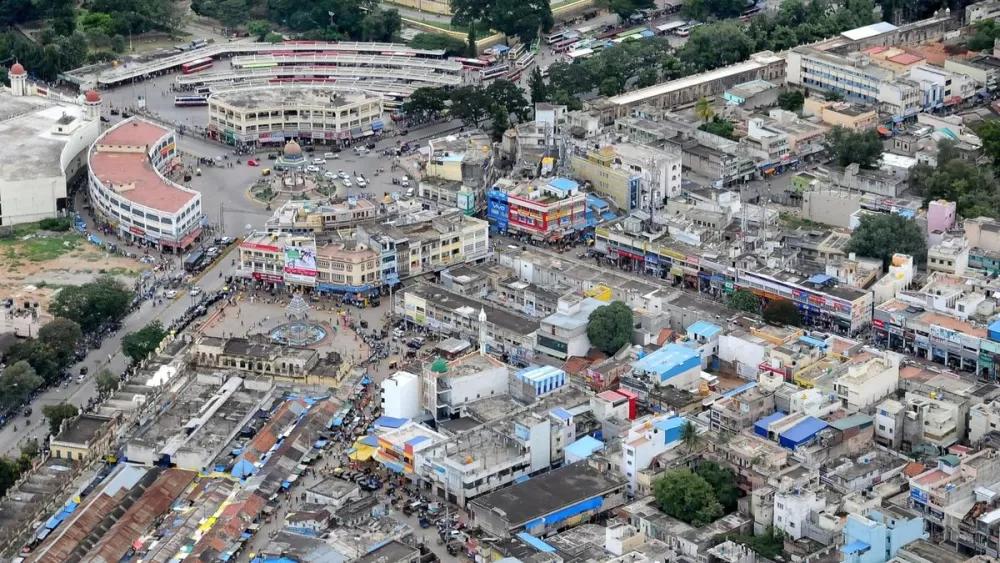
Mysuru district consists of Mysuru city along with several important towns that serve as administrative, commercial, agricultural and cultural centres for their surrounding areas.
The district administration currently lists 9 urban local bodies, including Mysuru City Corporation and municipal bodies in Hunsur, Nanjangud, H.D. Kote, Krishnarajanagar, Periyapatna, T. Narasipura, Bannur and Sargur.
Mysuru: The district headquarters and the major cultural, educational, tourism and commercial centre of the district.
Hunsur: An important town in the western part of the district and a centre for agriculture, commerce and surrounding rural communities.
Nanjangud: A historic temple town located on the banks of the Kabini River and known for the Srikanteshwara Temple.
T. Narasipura: An important town associated with agriculture, religious heritage and the confluence region of major rivers.
K.R. Nagar: A prominent agricultural and commercial centre serving nearby villages and rural communities.
Periyapatna: A town surrounded by agricultural and rural landscapes and an important local administrative centre.
H.D. Kote: A significant town in the western part of the district, surrounded by forests, agricultural areas and wildlife-rich landscapes.
Sargur: A town in the H.D. Kote region with strong connections to surrounding rural and forest areas.
Bannur: An important town in T. Narasipura Taluk and a local commercial and agricultural centre.
Population
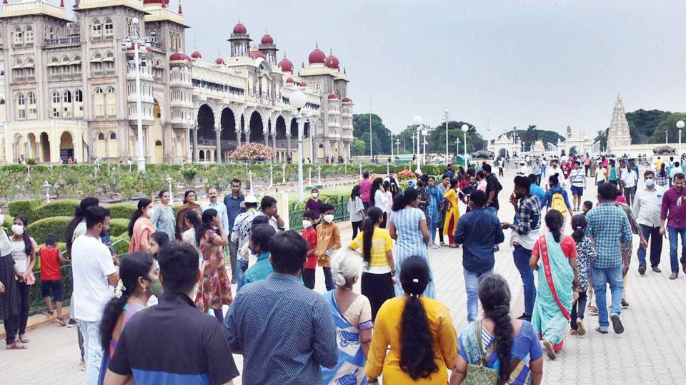
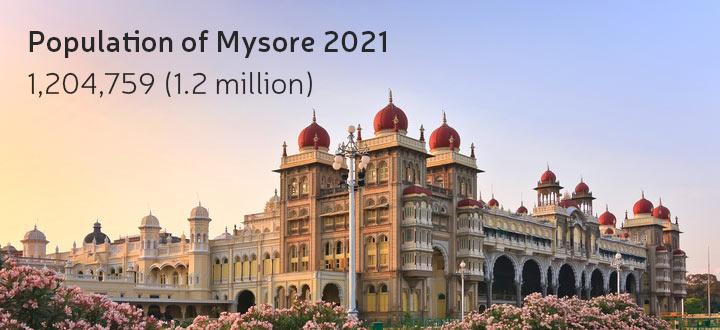
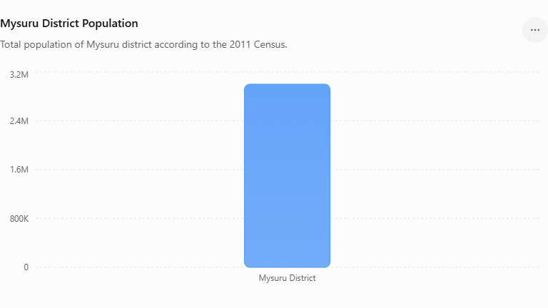
Mysuru District had a total population of 30,01,127 according to the 2011 Census. The district’s official statistics also report a population density of 476 persons per square kilometre and a sex ratio of 985 females per 1,000 males. The average literacy rate is 72.79%.
Population Highlights
- Total Population: 30,01,127
- Population Density: 476 persons/sq. km
- Sex Ratio: 985 females per 1,000 males
- Literacy Rate: 72.79%
- Families: 6,88,422
Statistics
The following statistics provide a quick overview of the district’s demographic and administrative structure. The official district statistics page was updated in July 2026.
| Category | Details |
|---|---|
| Population | 30,01,127 |
| Population Share | 13.63% |
| Geographical Area | 6,307 sq. km |
| Population Density | 476 / sq. km |
| Sex Ratio | 985 |
| Average Literacy | 72.79% |
| Sub-Divisions | 2 |
| Taluks | 8 |
| Hoblis | 33 |
| Gram Panchayats | 266 |
| Villages | 1,344 |
| Municipalities | 9 |
| Families | 6,88,422 |
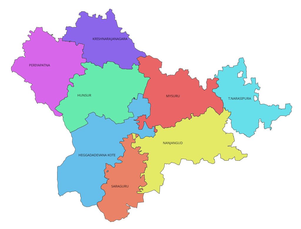
Area Measurement
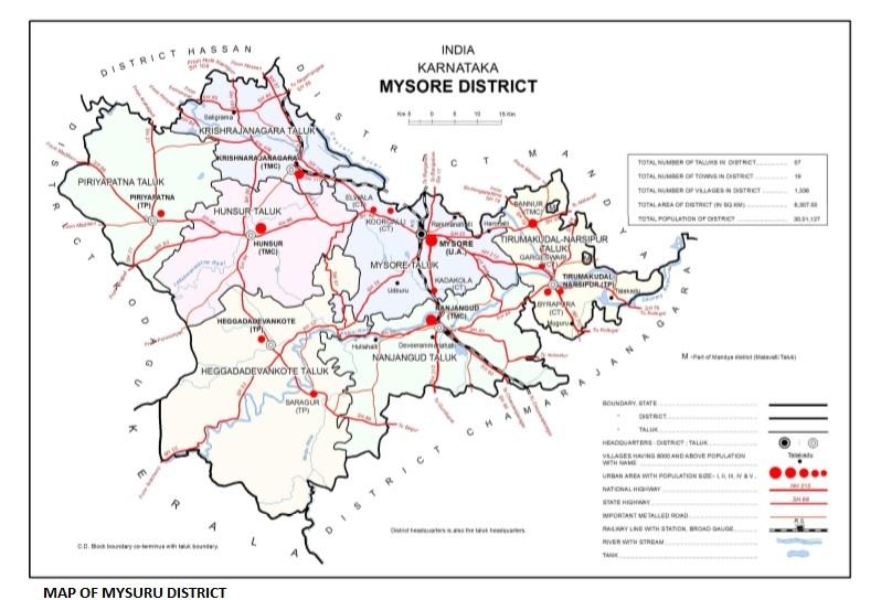
Mysuru District covers a geographical area of 6,307 square kilometres according to the district’s current “District at a Glance” information. The district is situated in the southern part of Karnataka and forms part of the southern Deccan plateau region.Mysuru shares its boundaries with neighbouring districts including Mandya, Chamarajanagar and Kodagu. Its landscape is characterised by an undulating terrain, hills, rivers, lakes, forests and agricultural areas.
Geographical Highlights
- Total Area: 6,307 sq. km
- Region: Southern Karnataka
- Terrain: Undulating plateau
- Important Landmark: Chamundi Hills
- Natural Features: Rivers, lakes, forests and agricultural lands
- District Headquarters: Mysuru
Previous History
Mysuru has a long and distinguished history extending across centuries. The district’s history combines traditional legends, archaeological evidence, inscriptions and the political history of several South Indian dynasties.According to traditional accounts, Mysuru is associated with Mahishasura, who was defeated by Goddess Chamundeshwari on Chamundi Hill. The name Mysuru is traditionally connected with this legend.Historical evidence indicates that the region was ruled by several important dynasties. The Gangas, Chalukyas, Cholas and Hoysalas ruled different periods of the region’s history. The Vijayanagara rulers also exercised influence over the area before the rise of the Mysuru Yadu/Wadiyar dynasty in the late medieval period.
Historical Timeline
Ancient Period
The region has references in traditional literature and historical records associated with Mahishamandala and related names.
↓
Ganga Period
The Gangas ruled the region until around the 10th century.
↓
Chola & Hoysala Periods
The Cholas and Hoysalas contributed to the region’s temple architecture, administration and culture.
↓
Vijayanagara Period
The region came under the influence of the Vijayanagara Empire.
↓
Wadiyar Dynasty – 1399 onwards
The Mysuru Yadu/Wadiyar dynasty became an important ruling power in the region.
↓
Modern Mysuru
Mysuru developed into a major cultural, educational, tourism and economic centre while preserving its royal heritage.
Revenue
Revenue administration is an important part of the governance structure of Mysuru District. The Deputy Commissioner serves as the head of district administration and is also the chief revenue authority at the district level. The Deputy Commissioner also has responsibilities relating to law and order, elections, disaster management, land administration and coordination of government programmes.Mysuru district is currently organised into two revenue sub-divisions Mysuru and Hunsur. The eight taluks are administered under these sub-divisions. The district administration’s current sub-division page also lists Saligrama and Sargur in the Hunsur sub-division structure.
Role of Revenue Administration
Role of Revenue Administration
Revenue administration covers important public services such as:
- Land records
- Land revenue collection
- Mutation of land records
- Record of Rights
- Crop records
- Land acquisition
- Government land management
- Certificates and revenue services
- Disaster relief and rehabilitation
- Election-related responsibilities
- Public grievance-related services